
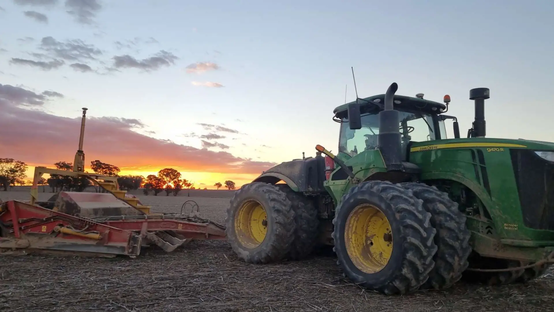
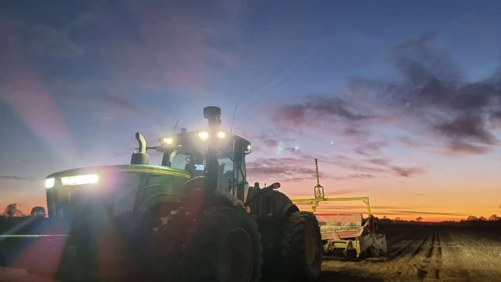
Laser & GPS Landforming
- Irrigation layouts
- Laneways and channel pads
- Storage and recycle dams
- Ripping
- Discing
Laser or GPS
- ✓Ability to put farm plan layout from Surveyor into GPS guidance
- ✓Grade multiple grade bays in one single pass
- ✓Reduce the amount of earthworks with GPS
- ✓Drainage for centre pivots and lateral move irrigators
- ✓Traditional laser grading available
Dryland Landforming
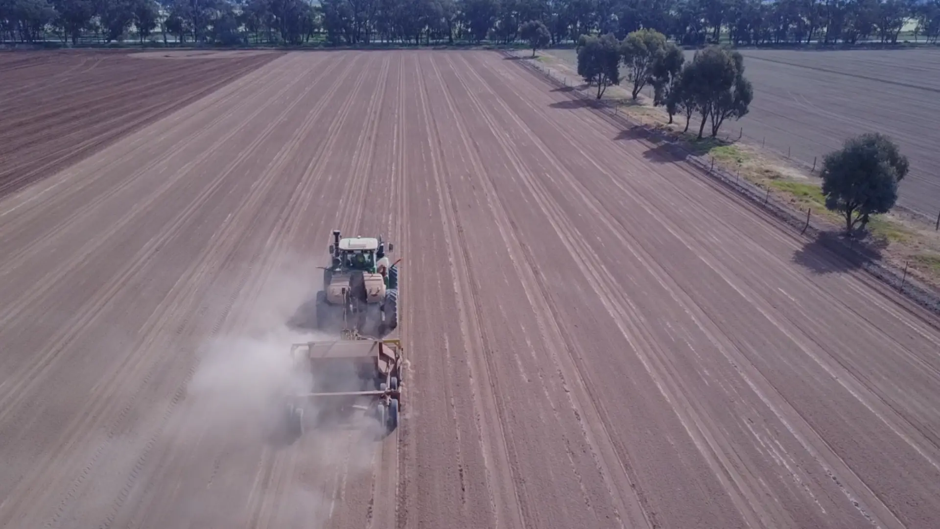
- ✓Convert height data from tractors and harvesters to create survey maps
- ✓Design drainage to minimise earthworks and eliminate water ponding
Full Project Management
- ✓From start to finish of project – providing full turnkey handover
- ✓Road grader for channels and laneways
- ✓Excavator for drainage and installation of bay outlets and culverts
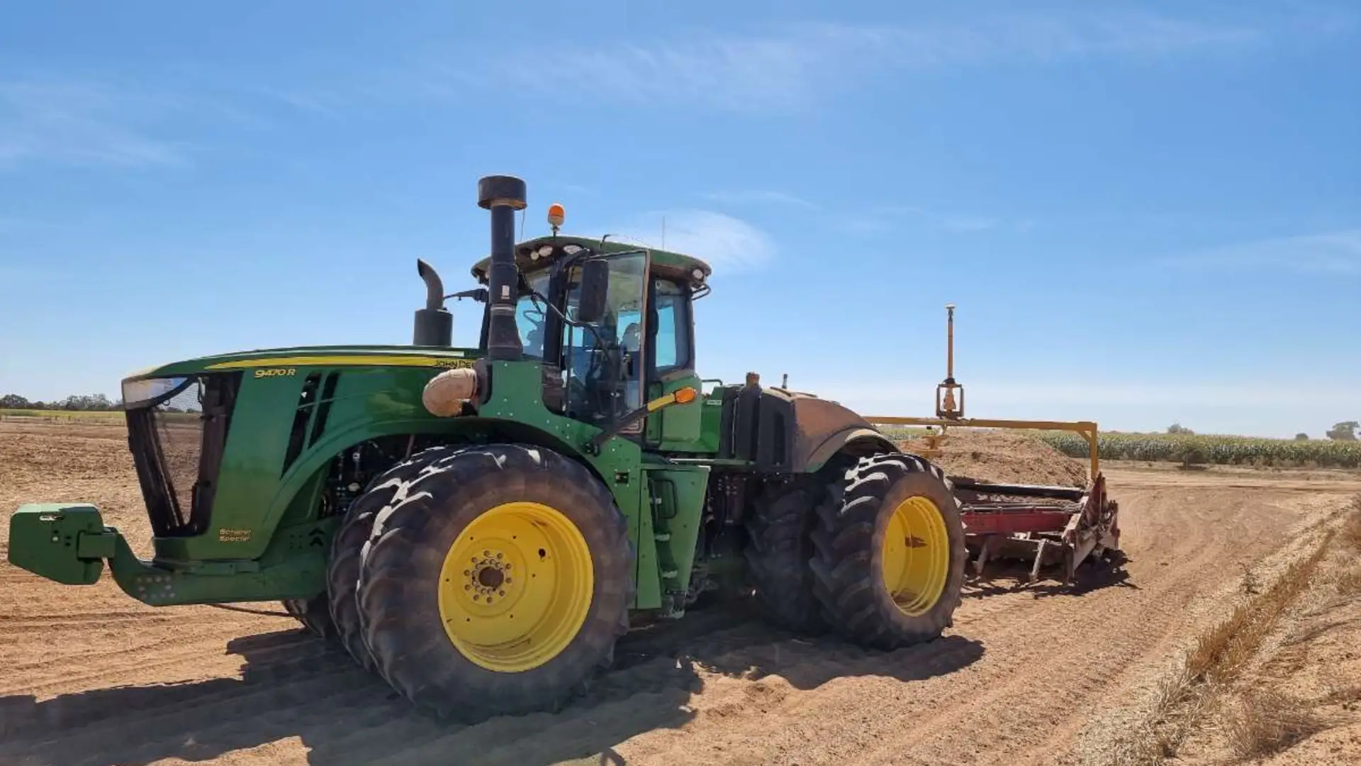
- ✓Tractors and buckets for landforming
Gallery
1 / 13